|
| *****SWAAG_ID***** | 676 |
| Date Entered | 14/01/2013 |
| Updated on | 14/01/2013 |
| Recorded by | Tim Laurie |
| Category | Mining Related |
| Record Type | Industrial Archaeology |
| Site Access | Public Footpath |
| Record Date | 12/01/2013 |
| Location | Muker Side. Above Straw Beck. |
| Civil Parish | Muker |
| Brit. National Grid | SD 90323 97726 |
| Altitude | 278m |
| Geology | Hardraw Scar Limestone. |
| Record Name | Muker Side. Straw Beck. Two adjacent ruined lime kilns, the eastern kiln. |
| Record Description | Collapsed lime kiln with small quarry on outcrop of the Hardraw Scar Limestone. One of two similar ruined kilns here. An old elder and a sallow grow from the top of this handsome relict of lime burning days. See also SWAAG Record 677. |
| Dimensions | See photos |
| Image 1 ID | 3956 Click image to enlarge |
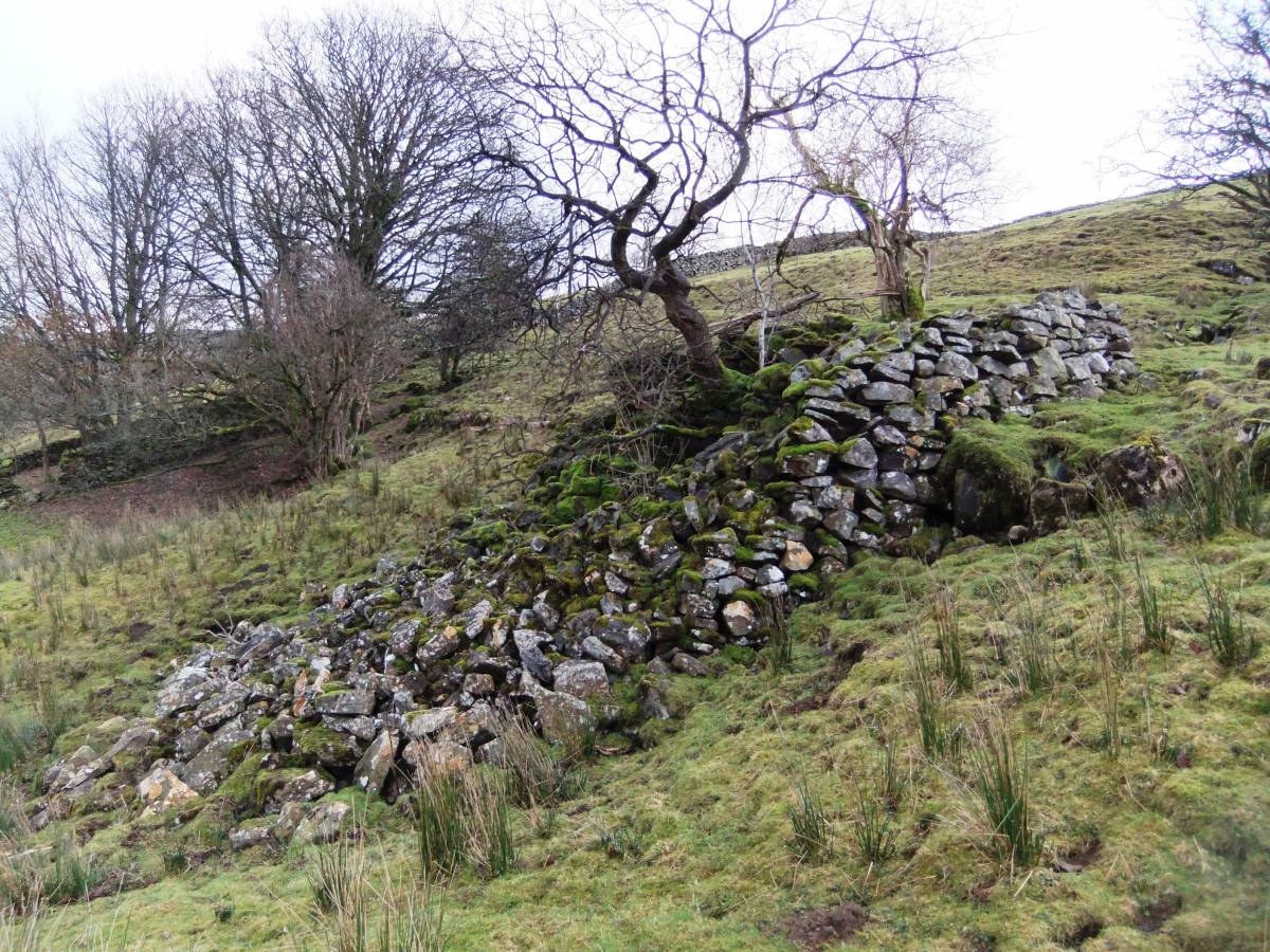
| Image 1 Description | The eastern of two adjacent kilns here. | 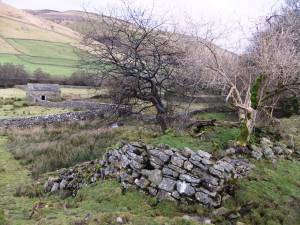 |
| Image 2 ID | 3957 Click image to enlarge |
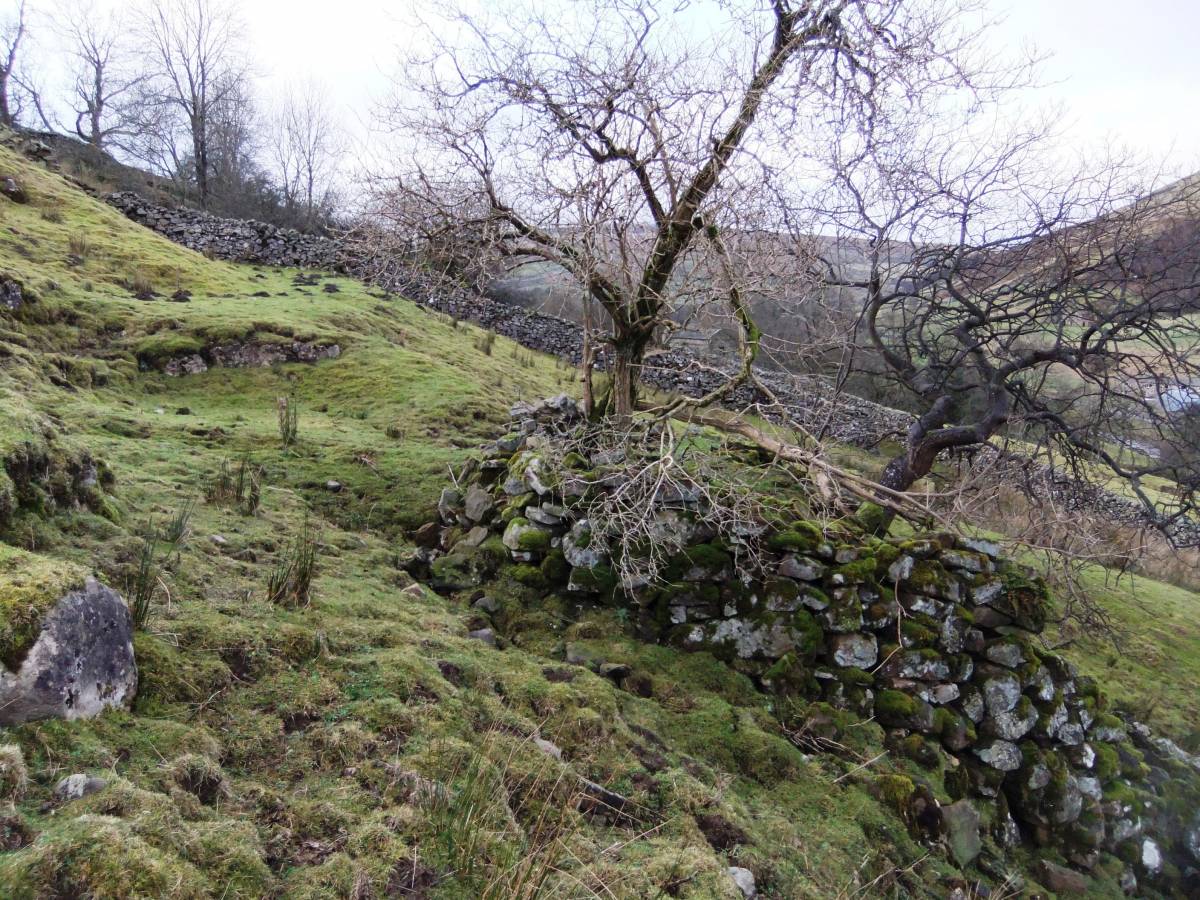
| Image 2 Description | An old elder and a sallow grow from the top of this handsome relict of lime burning days. See also SWAAG Record 677.See also SWAAG Record 677. |  |
| Image 3 ID | 3960 Click image to enlarge |
| Image 3 Description | An old elder and a sallow grow from the top of this handsome relict of lime burning days. See also SWAAG Record 677. | 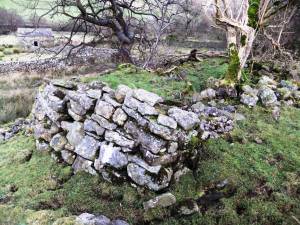 |
| Image 4 ID | 3958 Click image to enlarge |
| Image 4 Description | The eastern kiln and small quarry above. See also SWAAG Record 677. | 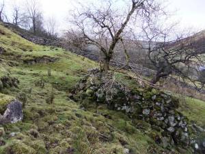 |
| Image 5 ID | 3959 Click image to enlarge |
| Image 5 Description | An old elder and a sallow grow from the top of this handsome relict of lime burning days. See also SWAAG Record 677. | 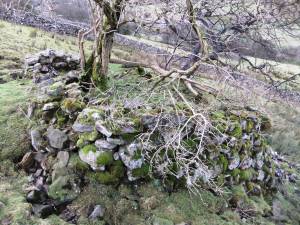 |